
High-level aerial insight to better understand land conditions, layout, and development potential.

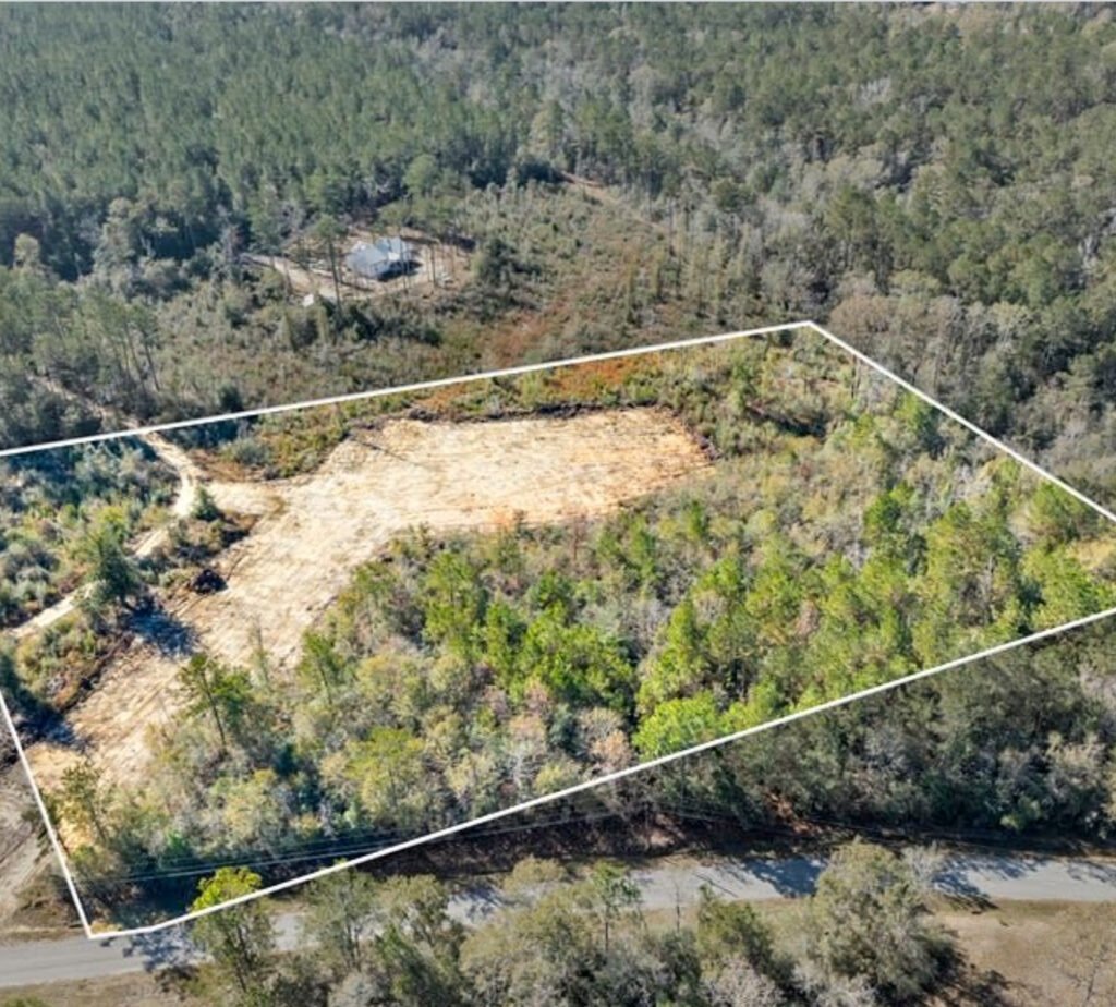
We use aerial imagery to evaluate land from a broader perspective—helping identify layout, access, surrounding conditions, and potential constraints.
We provide clear, data-driven land investment advisory that helps investors reduce risk and maximize returns.
We analyze land opportunities using accurate market data, zoning information, and feasibility research.
We help investors identify risks early and avoid costly mistakes in land investments.
Every opportunity is evaluated to ensure strong long-term returns and sustainable investment growth.
We simplify zoning regulations and land use restrictions to support informed investment decisions.
We assess whether land projects are practical, profitable, and aligned with development goals.
We provide step-by-step advisory support for smarter and more confident investment decisions.
We review aerial perspectives to understand layout and surroundings.
We assess access, drainage, and physical constraints.
We identify risks and opportunities.
Findings are used within the full property evaluation.
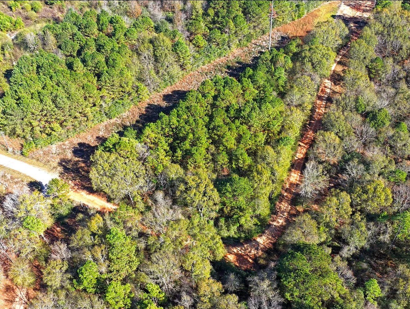
Aerial perspective allows us to see what is not always visible at ground level—helping identify layout issues, surrounding influences, and potential constraints early.
Get clarity on what your property can actually do—before moving forward.